Advertisement
Hurricane
 85° F, Mostly Clear
5-Day Outlook
Source: National Hurricane Center
/cloudfront-us-east-1.images.arcpublishing.com/tbt/3R3S663AJJCFXG6IXSIBRWAXM4.png "Water splashes against the seawall along Pass A Grille Way as squalls from Eta move through Pinellas County on Nov. 11, 2020. Though Eta wasn’t hurricane strength when it passed by, it gave an indication of the kind of damage the region could face.")
The Tampa Bay Times partnered with the National Hurricane Center for a revealing look at future storms.
• Hurricane
/cloudfront-us-east-1.images.arcpublishing.com/tbt/PKXVFVU4ZFAZ3OY5CMDHFQZ6JA.JPG "A motorist is seen attempting to drive on a flooded Bayshore Blvd as Tropical Storm Eta sends torrential downpours, storm surge flooding and wind across the Tampa Bay Area on November 12, 2020.")
The risk of flooding has never been greater in Tampa Bay home. But there are ways to get ready and mitigate that risk.
• Hurricane
/cloudfront-us-east-1.images.arcpublishing.com/tbt/43MZLDDHBJAH5B6TTSHWUNN6SM.JPG "Flooded furniture and personal belongings of Diane Carr, 59, lie in her yard the morning after Tropical Storm Eta at the Twin City Manufactured Home Community in St. Petersburg. Eta flooded thousands of properties in Pinellas County in November 2020.")
The county is using updated storm surge models and elevation data. Here’s how to check your zone.
• Hurricane
/cloudfront-us-east-1.images.arcpublishing.com/tbt/WJKOGHLKB5EINMEQAWCM2OSFDQ.JPG "Joanna Huxster, an assistant professor of environmental studies at Eckerd College, poses for a portrait at the campus beach on April 19 in St. Petersburg. She teaches an environmental communications course and dedicates the last week of class to teaching her students how to deal with eco-anxiety and grief. Eco-anxiety, or the “chronic fear of environmental doom,” is affecting the mental health of more and more people as they grapple with the realities of climate change.")
Climate change doesn’t just threaten the planet. It also affects the mental health of those grappling with the consequences.
• Environment
HURRICANE PREPARATION GUIDE
/cloudfront-us-east-1.images.arcpublishing.com/tbt/CFLZLDCSFJHXNDAIDJJ4UP3CUU.png "This hurricane season, get the latest information about storms and how to get ready at tampabay.com/hurricane")
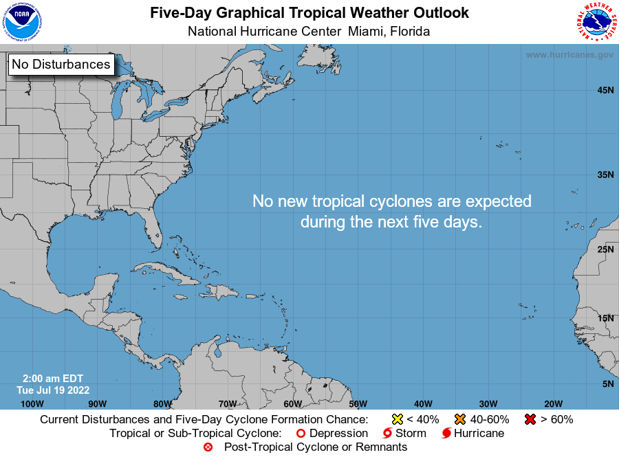
LATEST
/cloudfront-us-east-1.images.arcpublishing.com/tbt/IFRWESGPO5CBBF2BR4D6HQBCQM.jpg "Heavy afternoon rains, much like shown in this September photo taken in Pinellas Park, are possible today and the rest of the week.")
/cloudfront-us-east-1.images.arcpublishing.com/tbt/PEHW7CHIIFFYROHPWDNHQBAY54.jpg "A satellite image shows rough weather that is expected to bring heavy rain to north Florida this week.")
/cloudfront-us-east-1.images.arcpublishing.com/tbt/IBKXXYFFHNAMFA3BIVH3AQYE2A.jpg "Forecasters are watching a trough of low pressure over the northern Gulf of Mexico that could bring heavy rains to the Florida Panhandle and other parts of the Gulf Coast this week.")
/cloudfront-us-east-1.images.arcpublishing.com/tbt/RPUI4V3MSBEZVCIWIUKGIJS5ZE.PNG "The projected path of Tropical Storm Bonnie as of the 2 a.m. Friday advisory from the National Hurricane Center.")
/cloudfront-us-east-1.images.arcpublishing.com/tbt/PVT6QIQ27RA4ZFWJA4LY3KJ7KQ.jpg "The projected path of a weather disturbance in the Caribbean.")
/cloudfront-us-east-1.images.arcpublishing.com/tbt/2CHHGIWQ3NBV7JSAIQ5FZ4BR3M.PNG "Hurricane forecasters are continuing to monitor three areas of rough weather in the tropics on Wednesday.")
/cloudfront-us-east-1.images.arcpublishing.com/tbt/KGUMV5YGAFDT5KUWRBDRTKJESQ.jpg "Out of three patches of rough weather being monitored by the National Hurricane Center, the weather closest to Florida is in the northwestern Gulf of Mexico, but it is headed toward Texas.")
/cloudfront-us-east-1.images.arcpublishing.com/tbt/YVRD2LS7ZVCLLI4ZIV6QHEKRGE.PNG "Hurricane forecasters are watching three patches of rough weather in the tropics to see if they strengthen into tropical systems.")
/cloudfront-us-east-1.images.arcpublishing.com/tbt/T743MCZCAZCQPBHWIC2MPQQQWM.PNG "A planned visit to the southwest Caribbean on Wednesday by the Air Force Reserve Hurricane Hunter Aircraft was canceled after a blob of rough weather showed fewer signs of potentially strengthening.")
/cloudfront-us-east-1.images.arcpublishing.com/tbt/7XFRWKJ2FJGSDGGPSTTE4RNXQ4.jpg "The clouds and the water glow orange as they reflect the setting sun at North Shore park in St. Petersburg in this 2020 photo. A gigantic dust cloud from the Sahara Desert has reached Tampa Bay, resulting in higher temperatures, lower rain chances and more brilliant sunsets.")
/cloudfront-us-east-1.images.arcpublishing.com/tbt/3J26J6V35BHY5FDWKSXQKC6TGM.jpg "Hurricane forecasters are watching a patch of rough weather in the southwest Caribbean that could strengthen into a tropical depression later this week.")
/cloudfront-us-east-1.images.arcpublishing.com/tbt/7II7MVRJDJBFZGIYDYV4YN6BKA.JPG "People arrive at Mexico Beach on Thursday, June 2, 2022, where one of its landmarks, the iconic Driftwood Inn, background, was reopened 3.5 years after it was destroyed when Hurricane Michael struck Mexico Beach on Oct. 10, 2018.")
/cloudfront-us-east-1.images.arcpublishing.com/tbt/QVGLC2POXNFADHZ3BAZ5YCD2DY.jpg "Bermuda has shuttered schools, businesses and government agencies as Tropical Storm Alex heads toward the British overseas territory. This was its projected path Monday morning.")
/cloudfront-us-east-1.images.arcpublishing.com/tbt/OVILNPC4Z4XZEZUIXLGUPLWVHE.jpg "Water laps at homes in the neighborhood of the 700 block of Northwest W 17th Court in Miami Saturday morning, June 4, 2022, from a disturbance heading toward Florida's west coast.")
/cloudfront-us-east-1.images.arcpublishing.com/tbt/23LGUNEPV5AI5ADZR2XHZTQSLM.jpg "The five-day outlook for a system in the Gulf of Mexico that's expected to soon become Tropical Storm Alex before making landfall in Southwest Florida on Saturday.")
/cloudfront-us-east-1.images.arcpublishing.com/tbt/ZNRLVZRCQBEENKWWI7TZEILSTM.jpg "The projected path of a storm system that is poised to head toward Florida by the weekend.")
/cloudfront-us-east-1.images.arcpublishing.com/tbt/JUPPLI3ZGNB3XLGWDB5RGSHZGI.jpg "What was once Hurricane Agatha is expected to re-charge over the Gulf of Mexico and move toward Florida.")
/cloudfront-us-east-1.images.arcpublishing.com/tbt/UORRFMDPPNGFXLSRJSIRZGYKK4.jpg "This satellite image made available by NOAA shows Hurricane Agatha off the Pacific coast of Oaxaca state, Mexico on Monday morning.")
/cloudfront-us-east-1.images.arcpublishing.com/tbt/IZEVT32EMFBARIPEIXPVIG7BKA.jpg "Remnants of what was once Hurricane Agatha in the Pacific Ocean are now expected to become Tropical Storm Alex in the Gulf of Mexico by Thursday. The system is projected to slide toward Florida by the weekend. Forecasters also are watching a trough near the Bahamas with little chance of strengthening.")
/cloudfront-us-east-1.images.arcpublishing.com/tbt/ENC22M3EB5GHNNJJ7TDRNQLPGE.png "Spectrum Bay News 9 Chief Meteorologist Mike Clay.")
Hurricane Emergency Information
Here are the latest evacuation maps (interactive and printable), shelter locations and emergency information provided by your county:
- Citrus
- Evacuation Map (PDF)
- Shelter Locations
- Emergency Info
- DeSoto
- Emergency Info
- Hardee
- Emergency Info
- Hernando
- Evacuation Map (Interactive, PDF)
- Shelter Locations
- Emergency Info
- Highlands
- Emergency Info
- Hillsborough
- Evacuation Map (Interactive, PDF)
- Shelter Locations
- Emergency Info
- Manatee
- Evacuation Map (Interactive)
- Shelter Locations
- Emergency Info
- Pasco
- Emergency Info
- Pinellas
- Evacuation Map (Interactive, PDF)
- Shelter Locations
- Emergency Info
- Sarasota
- Evacuation Map (Interactive)
- Shelter Locations
- Emergency Info
Advertisement
Most Read
- Tampa tenants say landlord wants to evict them over money they don’t owe

- Distracted driver caused deadly 6-vehicle crash on I-275 exit ramp in Tampa, troopers say
- Florida Republican wins state House seat after opponent booted off of ballot
- Netflix’s ‘The Girl in the Picture’ has Tampa Bay ties. Read coverage from the Times archives.
- She sought her dream home in St. Petersburg — but had to leave to find it
- Rob Gronkowski’s girlfriend believes tight end will play again


Advertisement
Today's Featured Advertisers
Advertisement